|
Many thanks for permission to use graphics from their software and toposheets |
|
|
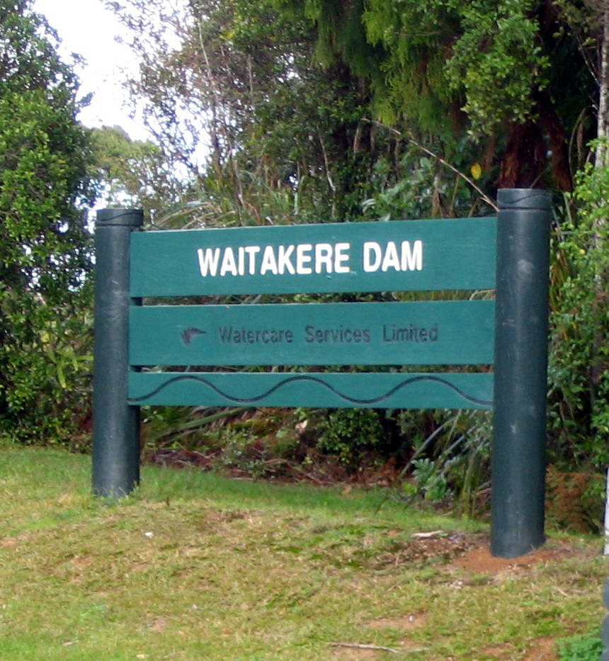
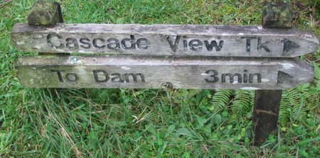
3 June 2006 and 17 September 2006Waitakere Dam and Tramline Track
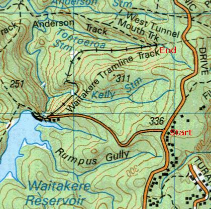
This route is a "there and back", to the Dam, along the tramway as far as the start of the second tunnel and back again. At the second tunnel, the track becomes the Western Tunnelmouth Track and its nature changes quite markedly from a simple walking track to a rather more demanding tramping track. This is not to deny that athletic young men come bounding past frequently at a fast jog, just to suggest that older and fatter persons are wise to get fitter and younger before attempting it. The principle feature of this track is that it is downhill all the way to the turning point at the Western Tunnelmouth, and then uphill all the way back. The other major feature of the track is that it is continually drawing attention to itself as a man-made artifact. You're not just slipping along surrounded by wilderness. There are tarseal roads, mowed grass, concrete steps, bridges and buttresses and embankments, and wire fences and water chutes and scruffy introduced weeds, to say nothing of the railway itself and the massive presence of the dam.
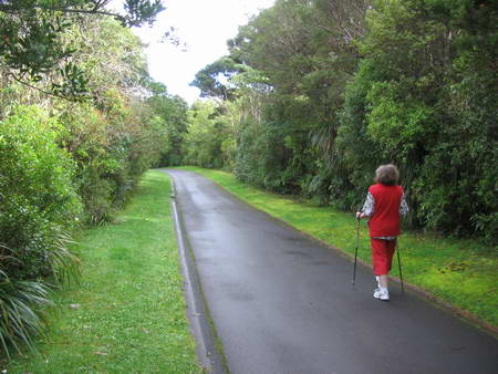
Park your car in the generous parking area at the top and read the notices about thieves and not leaving valuables in the car. The first section of the track as far as the dam is in fact more like a landscaped park than a tramping track, being the principal service route for the Dam.
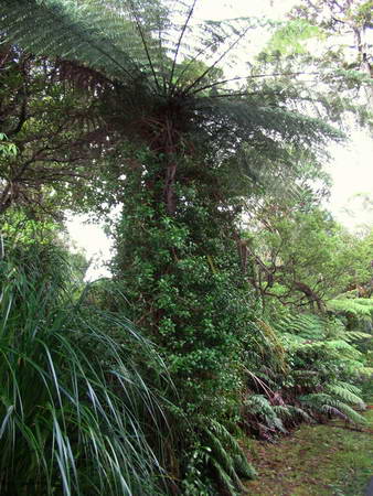
This is not your average track through the bush. Strikes me as a wonderful skateboarding oportunity, though we didn't see any. The road's edge is lined with the usual suspects - kawakawa, hangehange, koromiko, karamu, and so on and there are a number of larger trees. One of the features, right down to the dam, though, is the rata.
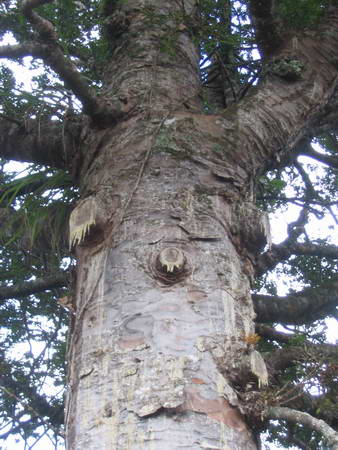
You can see it nearly engulfing a punga, or dwarfed by a huge kauri
or just growing out of the shrubbery on either side. I haven't often seen it so much a feature of a patch of bush as it is here.
Speaking of big kauri, there's one right beside the road on the way down and another just off the track which I'll show you on the way back.
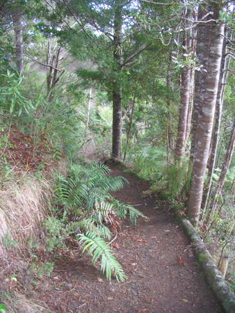
Just when I'm wondering whether we'll ever see the end of the tarseal, a track branches off to the right. I asked the question of the Okura Walkway: How many pine trees died to make this track? In this case, it's not pine trees, it's pungas.
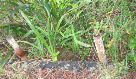
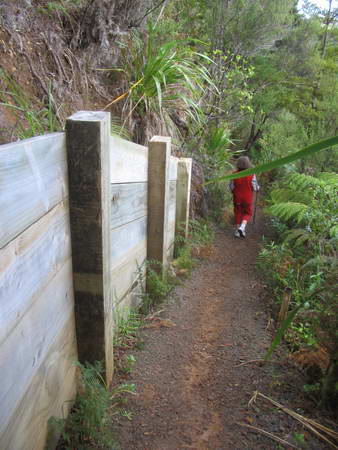
The track is benched along quite a steep hillside and the downhill side of the track is a wall of punga trunks against rammed 75mm steel pipe.
Further along, the uphill slope is considerably buttressed as well
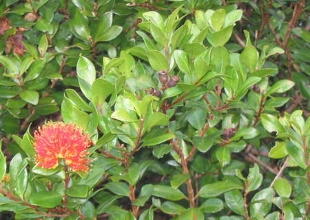
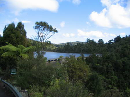
Just along here is a wonderful view down the valley, which I will have another go at capturing next time, first checking that the camera setting hasn't moved in the course of taking it from the bag. Along the side of the track there are ivy and periwinkle and cotoneaster, and other horrors our pioneer gardeners could not possibly do without, but this is not the Southern Alps, it is the Waitakeres, and we take the invasive right along with endemic as a fact of life. Just ahead is our first sight of the dam.
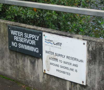
and very soon the warning signs appear.
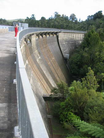
I'm no expert on dams but this one seems huge, and I am even more awestruck when I learn it was built more than 100 years ago. I am thinking about the relatively primitive technology available and what it achieved in the isolated are that was then the Waitakere Ranges.
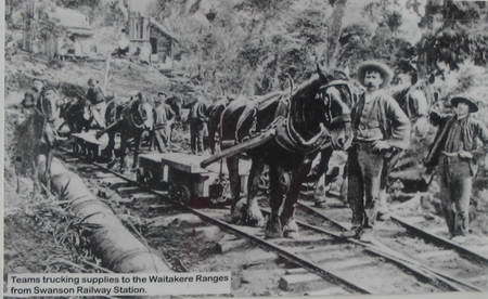
There is an information board and on it is a picture of the horse teams that brought all the materials up to the damsite along the narrow gauge railway that joined up with Swanson Railway Station
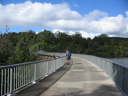
We head out along the dam for a look and on the downhill side the drop is enough to bring that old familiar weakness to the back of my knees, the one metre high railing notwithstanding. I stop and take a breath or two and consciously move over towards the edge near the rail, and practice relaxing as I move along. I'm getting better at it.
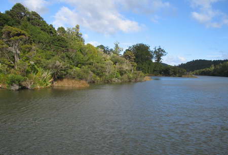
The storage lake is quite lovely.
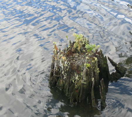
Miranda spots a stump in the water and heads in for a closeup
We finish looking around and head towards the beginning of the Tramway Track
|
|