|
Many thanks for permission to use graphics from their software and toposheets |
|
|
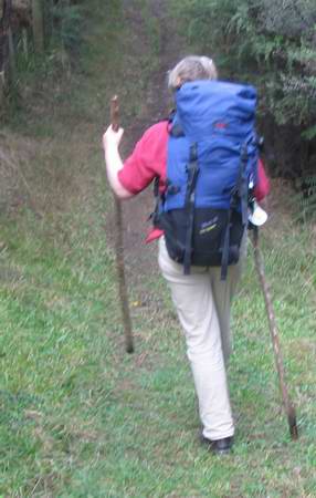
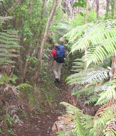
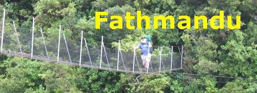
page 2 Waiheke IslandWe set off down into Whakanewha Reserve. Miranda has sorted a couple of dead sticks from the edge of the path to provide stability as she walks. I have one stick, which mostly serves, but before I finish the day I will have wished for the extra stability myself as I take a tumble on a slippery and rocky stream crossing on the Mamaku Track, and bruise my backside somewhat in doing so. This takes several weeks to come right. It's worth the little extra effort to maintain stability. (Hiking poles are an excellent investment we eventually decided.)
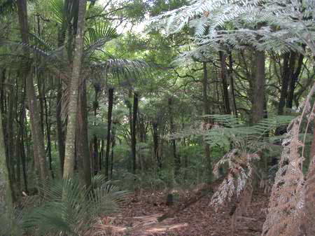
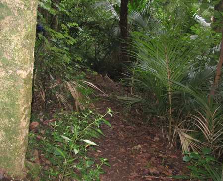
This is very soon an altogether different kind of bush, much taller and more open beneath the canopy, with a lot more pungas and nikau, and a lot less kanuka and manuka. It's also downhill which is a recommendation in itself.
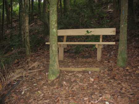
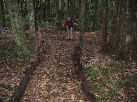
A park bench offers a quiet and shady sit, but we're still moving strongly at this point. We could do with it later on. It's so brand new the wood hasn't even begun to weather.
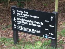
We are now in the Whakanewha Regional Park. We move on through quite lovely bush
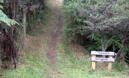
to the intersection with Cathedral Track...
and hang a left to the Park Entrance.
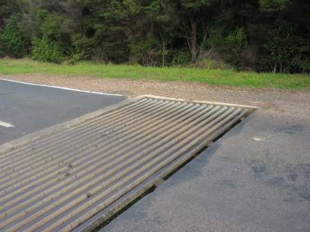
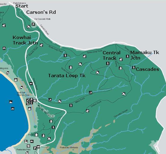
From here (at the top left of the map below) we can head down to the beach and the old pa and any of a number of other walks in the Reserve. I wonder at the purpose of an elaborate cattle stop in the tarseal road down to the beach, given that any cow I know would figure out a way past in nothing flat. Maybe there's an ARC regulation that says a cattlestop is mandatory, even if stopping cattle isn't.
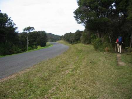
We think about heading down to the beach, as we're still feeling in good shape, but I am still not certain of how we're going to get up past the airport to where the Ecovillage property starts. There may be more walking than we think. We have heard rumours of the Mamaku track to Onetangi, but nobody we have spoken to knows anything about it or exactly where it goes. As it turns out, I am right for the wrong reasons when we decide to stay on the Tarata Loop Track. We head off along Carson Rd (shown on the topo map as the western of two Awaawaroa Rds. Presumably they were originally intended to meet. ) The present Carson Road also continues on for some distance beyond what is shown on the topo map in a big semicircle.
We start top left of the map and take the Tarata Loop track initially hugging Carson's Rd, then dropping down to the southern arm of the loop. We pass the Kowhai Track turnoff shortly and continue to the junction with Central Track, then straight across to the Cascades, about 50 metres from the point where the stream, top right, joins another from the left. Onwards, a hundred metres or so, and a brand new track, not yet marked on the map, the Mamaku Track, takes a right towards Onetangi. This takes us to the east of the airstrip as far as the beginning of Trig Hill Rd, and from there it's across the paddock and downhill to Linda's place.
The track is more open and grassy at his point.
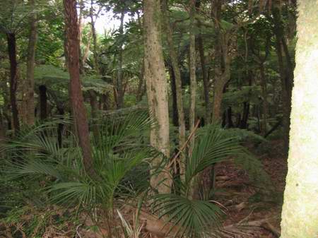
We drop down into some open bush dominated by kanuka and coprosmas, with smallish pungas.
As we continued, the bush, especially the pungas, became taller and more mature, and the kanuka largely disappeared. Many young nikau began to appear.
We stopped for another short break, just beginning to feel the first protests from our legs. The faint milky sea mist had persisted all day.
|
|