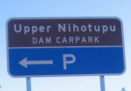
We slotted this one into a spare afternoon, leaving Helensville for Henderson about 1 pm and getting home around 5.30 pm. From Henderson shops we headed up Henderson Valley Rd, then into Forrest Hill Rd and on to the Scenic Drive and then to the Piha Rd. About 2 km along the Piha Rd on the left is a large parking area which probably reflects the popularity of this walk in the summer months.
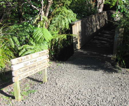
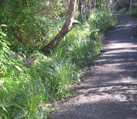
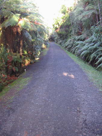
We started by crossing a bridge over the main feeder stream for the Reservoir, heading onto a well-kept gravel path through light forest, with native grasses plentiful along the track.
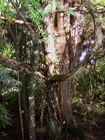
Not long after the start is a magnificent kanuka getting on for 500mm diameter
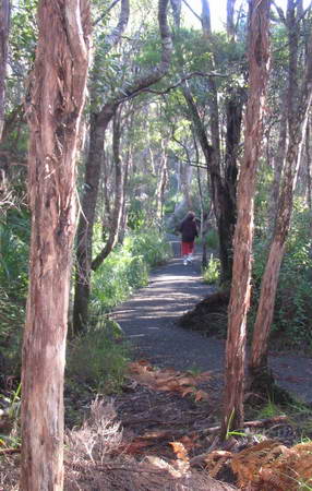
Miranda was feeling a touch cold, and the track being as good as it was, she parked her sticks in my pack and set off jogging to warm up.
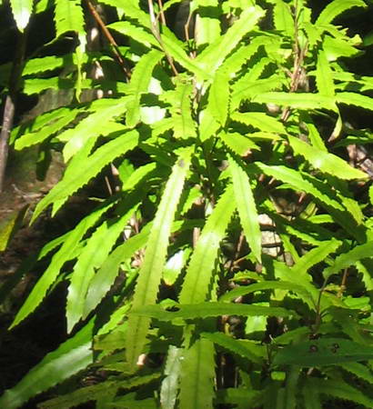
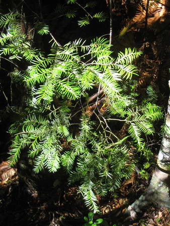
Young rimu and totara are plentiful, along with the usual suspects, but the predominant cover was kanuka. Here and there, the bright green of young rewarewa stood out.
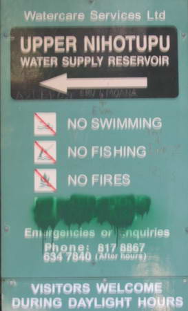
Shortly, the foot track emerges on a compacted gravel road used as a service route for dam maintenance. The same dog-loving vandal whose work we noticed at Waitakere Dam with the same can of spray paint has been here before us.
Notwithstanding, we see several extremely friendly pooches during the walk, none of them anywhere near a leash.
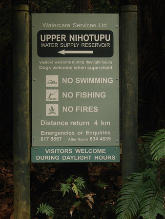
Note, almost a year later when we walk this way again, the dog lover has made his point: the sign has been replaced with a more friendly one. Grafitti rules.
The road heads downhill, though not nearly as steeply as the Waitakere Dam road.
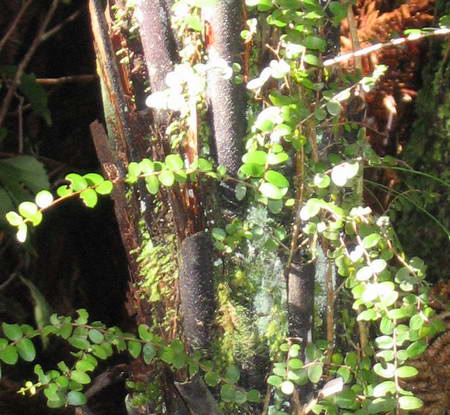
Miranda has warmed up sufficiently and jogs back up the hill to meet me. I am engrossed in capturing a small-leaved rata climbing all over a punga.
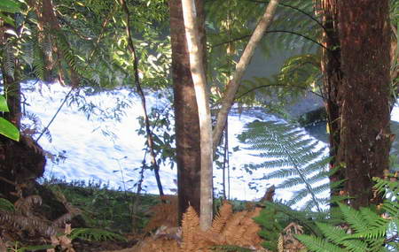
We head on down the hill. To the left, we can see the stream beginning to pick up speed.
Further on, a young miro, one of a number I see in the upper part of the walk, looks immaculate. Some plants look scruffy and some just ooze tidiness.
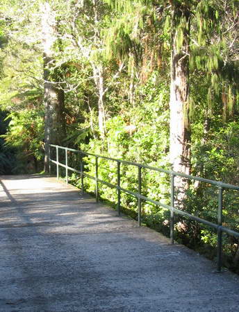
We reach the bridge
and stop for a look back up the river
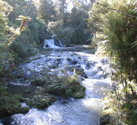
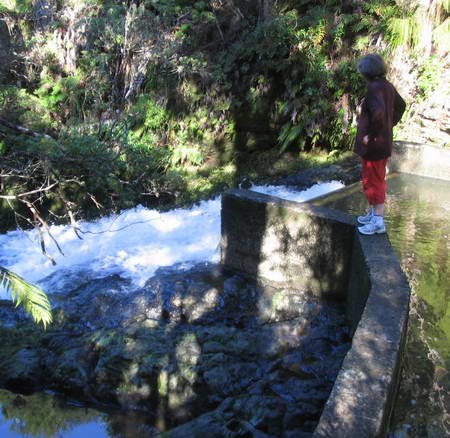
Just downstream a little, a side track leads down to a concrete weir that was erected originally to monitor water flow when the dam was being designed.