|
Many thanks for permission to use graphics from their software and toposheets |
|
|
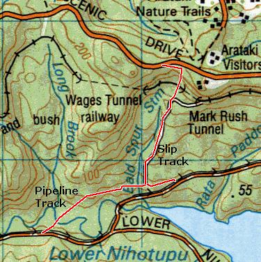
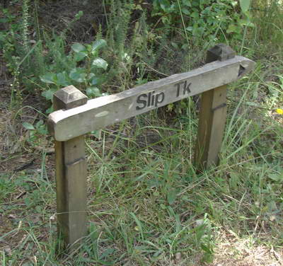
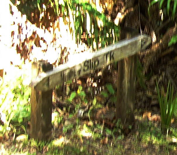
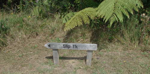
28 January 2007 Slip TrackThe Slip Track runs from the Pipeline Track to the Scenic Drive
It's a Jekyll and Hyde kind of track. Certainly it is steep, but only as steep as a vehicle can manage, and its surface is firm and surfaced with gravel, varying in size from pebbles to rocks; and it's wide. That's the first bit. Easily managed albeit with appropriate pauses for breath. About half way up or a bit more, the vehicle track swings around to the right and the Slip Track crosses a 2m deep ditch before narrowing dramatically and steepening somewhat. Once you cross the railway, you have the track from hell. I'm thankful the weather was dry. NOTE: The ARC map mislocates the track, if my GPS is to be relied on, and it was in absolute agreement in all details regarding the rest of the walk over three tracks.The Slip Track shown on the ARC map
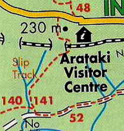
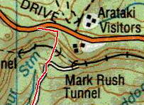
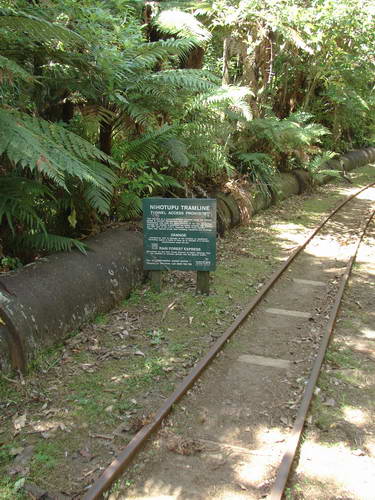
follows the vehicle track around to the right and meets the railway east of the tunnel, and from there makes its way up to the road about 200 metres or so from the actual point of exit. (Note 2: The Arataki Visitors Centre is shown south of the road on the ARC map (correct) and north on the topo sheet. What is on the north side is not the centre but several associated tracks.) My GPS record of the track that I actually followed
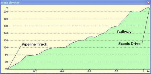
has the Slip Track leaving the vehicle track at the point where it turns right and heading more or less straight up the hill, and then parallel with the road for a spell before emerging onto Scenic Drive. There may be two exits for the Slip Track - I didn't check that far - but the one that I followed was signposted as Slip Track twice, and is accurately represented by the GPS track above. Here's the profile:
But back to the bottom of the hill.
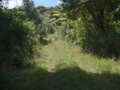
Off we go
It's starting to get steeper, and initially the track is linesd with gorse and kanuka and some of the hardier of the usual suspects.
It is very warm. I place a hand on the gravel surface, and I reckon the stones are reflecting back the heat they've been absorbing all day.
I have organised my progress a little by this stage, and I am spotting the next patch of shade to aim for while I catch my breath. The track is inclined to flatten out a little here and there before making you pay for it on the next bit.
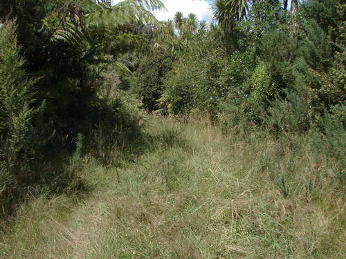
At this point, the track forks. The vehicle track heads round to the right, looking more inviting but alarmingly untrodden, and
straight ahead, presumably, is the "small ditch" referred to in the ARC notes
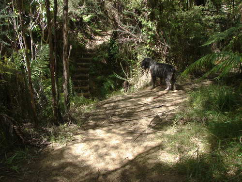
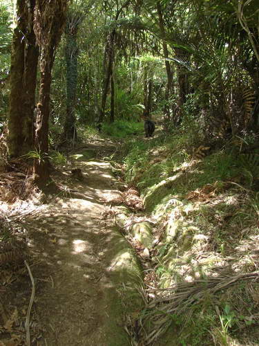
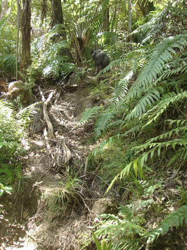
The steps suggest, in the absence of signs, that this is the correct direction, but unfortunately there are none on this side of the ditch and at my size, I am reluctant to allow gravity to do the trick. Eventually, by lengthening my poles I get enough of a stable base to feel safe and I make it to the bottom. Up the stairs and into a different world, a narrow track carpeted with dead fern fronds, cabbage tree and nikau leaves.
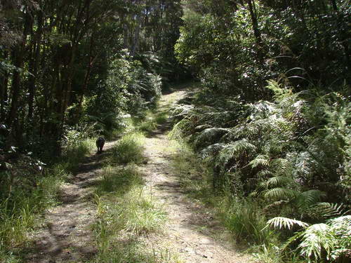
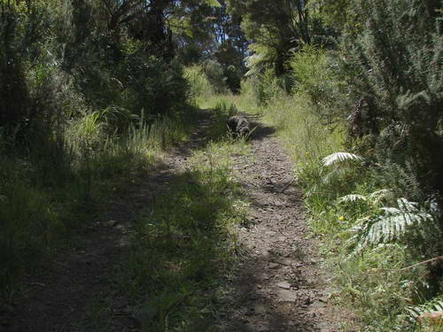
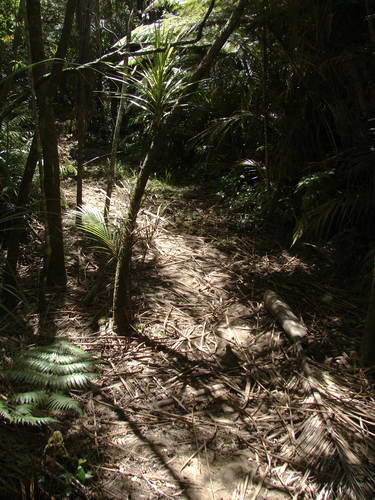
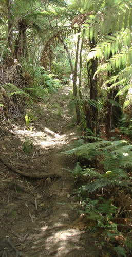
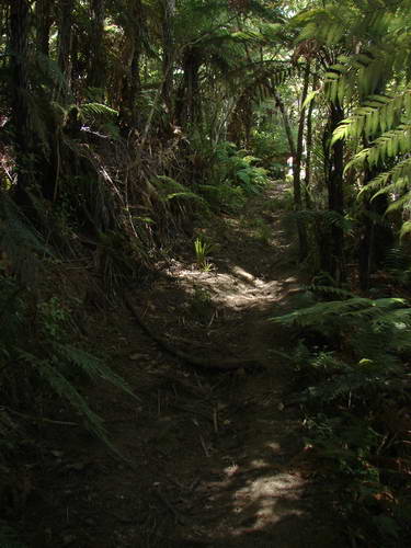
We continue through this with the track narrowing still more and becoming increasingly rutted as we climb.
That looks like some light up ahead.
Yes...
Yup, that's us.
Across the way, the track is daunting. perhaps not to an agile and nimble youngster, but I have to get onto my knees to get started on the first step as I can't lift my foot that high. It doesn't get a lot better, either. At least I am not carrying the same weight of water as I started with - I've been sipping regularly, and it's been evaporating just as fast. I calculate I've drunk 3 litres of water over the day and my weight when I return is a kilogramme less than it was this morning.
Not very hospitable at all, really. (Alternative caption: Ah! Civilisation!)
In fact we can hear cars just above our heads, but for some reason Finally. That was a strenuous walk.
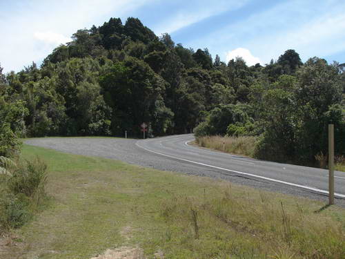
Now we have a final 1500m along Scenic Drive back to the car. But first, let's just dot the i's and cross the t's.
Approximately 65 minutes, fatman time, for this track.
|
|