|
Many thanks for permission to use graphics from their software and toposheets |
|
|
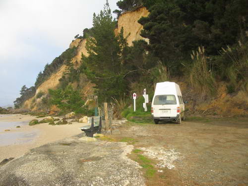
Part 3: Kelly's Beach to Whakapirau: Fish for DinnerWe arrived back at Kelly's Beach late afternoon and headed round to the boat ramp at the point for a cuppa and some thought about dinner.
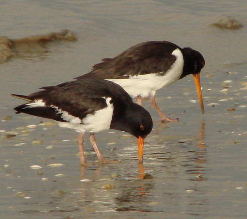
The oystercatchers we had seen before were now in full feeding mode down by the water's edge and Miranda wanted some pix that did not feature immaculate lawn backgrounds. While I watched, a couple on a tractor drove down onto the beach to retrieve a set net. I took a couple of photos and the guy called out to ask me whether I'd like a fish for dinner. Would I what....!
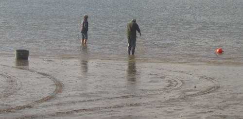
He tossed me a couple of small kahawai and I cleaned the fish and had them more or less straight into the pan. I'd have thought he'd have a few flounder in his haul, but no. He reckons commercial fishing has dropped the population considerably and they're no longer as common as they used to be. Same with school shark. I notice that there is also a closed season on scallops, as their numbers are also dropping seriously. The Kaipara used to be a byword for fish. Miranda has some good pics.
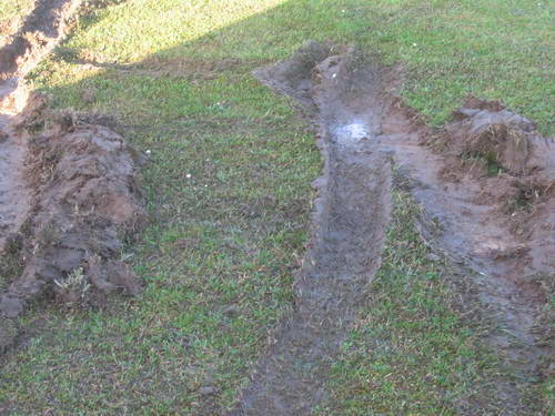
A passer by suggests we might be unwise to camp here the night as there's a storm on the way and the trees up the cliff above us have been known to fall in a good blow. We up anchors and head around to the campground. By now it's dark and we locate the proprietor who relieves us of $8 and when we ask where we can fill the van up with water, points us to a tank beside the toilets. While the campground itself is quite firm, it has been raining heavily and the overflow from the tank has seeped into the immediately surrounding soil. We bury the front left wheel of the van about 15cm. We are stuck. The proprietor heads off up the road on his tractor and comes back with atow rope. The only place to attach it is to the steel pipe holding the spare tyre in place at the back, which gets a bit distorted in the process. Eventually we make it onto hard ground, but the van is a good deal away from level. The ground we are on seems firm enough to me, and I am a bit short of turning space, so I risk a short turn on the grass. Damn. Damn and blast. Once more unto the tractor.
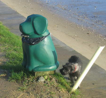
The immaculate but treacherous surface of the Kelly's Beach campground will take a little restoration. The night is calm and the boat ramp parking area would have been ideal. Next morning we clean up, and I take Alice for an explore along the beach. There is one feature especially that captures her interest: the large green plastic dog wastebins.
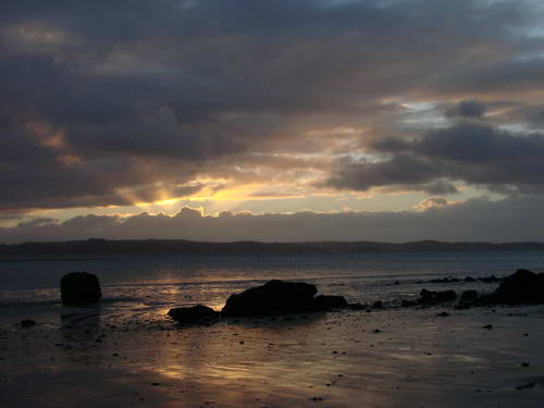
Miranda has scored some good sunrise shots.
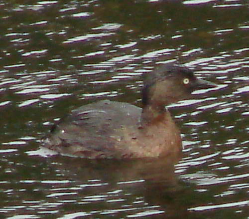
On the way out from Kelly's Beach, Miranda spots a dabchick on a farm pond close to the road and we stop for a photo. They're very well camouflaged against the pond and I'm impressed she spotted it at all. Camera vision, she says. You start to look at things as though you were a camera.
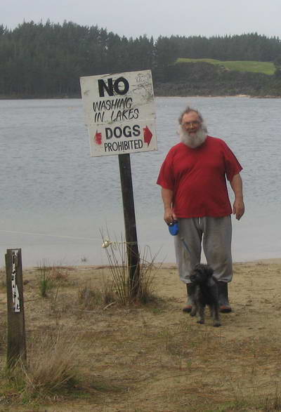
We decide to head up to the Kai Iwi lakes north of Dargaville rather than return to Pouto. It will get us just a bit closer to home for the final leg on Monday morning. Bad call. You can tell when you're getting close to Kai Iwi lakes. The No Dogs signs begin to proliferate. And I mean proliferate. Even without a dog you'd need a chainsaw to make your way through them to the track itself. The northern lake is used as a waterski facility, there are cow tracks and cowpats along the beach and still dogs are forbidden. What is a dog on a leash going to do to wildlife that powerboats (no more than 5 boats permitted on the lake at a time, brmmmm brrrrm) and cowshit is not? What harm from shampoo that will not be multiplied a thousand fold by fuel leakages from outboard motors.
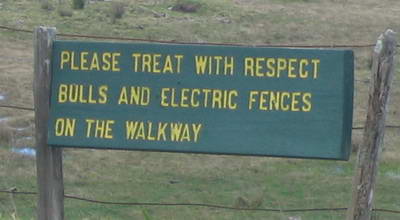
We briefly consider a walk along the bluff track, but that track is closed during lambing. We are somewhat less than gruntled.
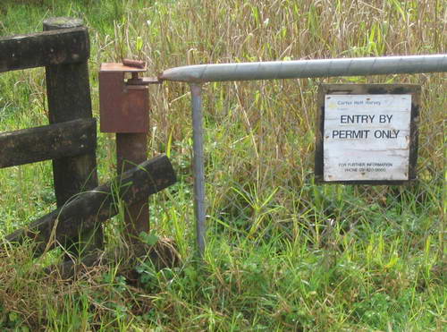
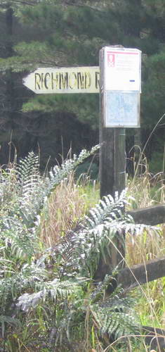
As we hit the main road north again, we notice a sign pointing to Marapiu Forest Reserve, and on the spur of the moment decide to explore further. We are swiftly onto a gravel road which gets progressively narrower, steeper and softer. Carter Holt Harvey has moved in up here in a big way:
Ponsonby residents would hardly recognise it:
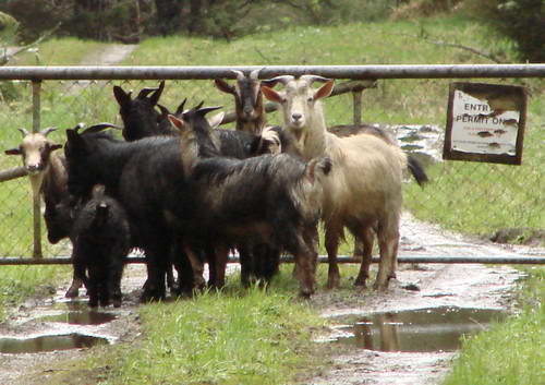
We reach the top of the hill and then it's downhill all the way to the end, with the road getting softer and softer and no turning places available. We flush a small flock of wild goats which precedes us the last kilometre or so to the end.
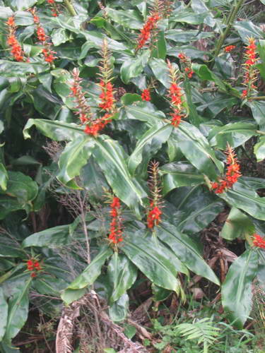
We stop for a bite to eat and I gingerly point the van uphill and take off slowly. We maintain a steady pace and even though the road in places is rutted and apparently soft, we never seem in danger of bogging. Kahili ginger is very much a feature along the roadsides, and there's a slightly decaying feel about the area as though CHH have taken over and then forgotten about it.
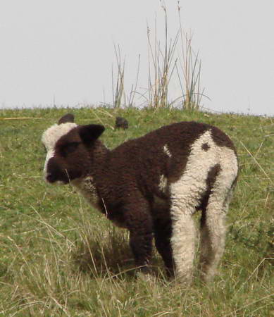
Off to the left we spot some of the strangest sheep we have ever seen - and one that would probably require extra careful shearing.
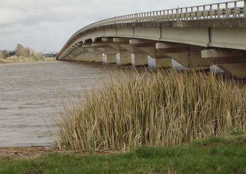
This one has quite a lot of brown; in others it's more evenly split and no two patterns are similar. Back to Dargaville and a fill-up and icecream at the big service station and over the river. the bridge is new since I was there last in my teens, and quite impressive.
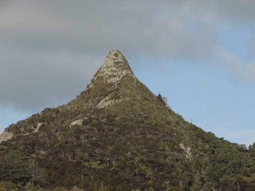
Down towards Ruawai and a swing to the east across the flats. On the way there, suddenly arising from the plains like an upside down ice cream cone we come to Tokatoka Peak.
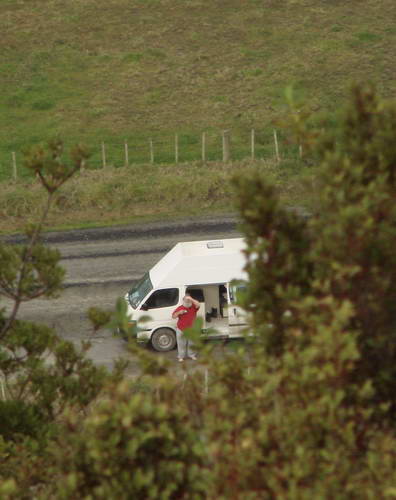
Just along the road is a pub and sign beside it pointing to the peak. We head up for a few kilometres and come to a Doc sign and a track to the top. Miranda is set on climbing it with camera and Alice. My leg is not up to this sort of effort yet, and it looks a bit vertiginous for such as I, so I snatch 40 winks in the van and wait for her to phone me from the top.
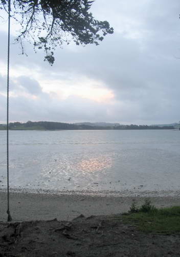
She has quite a good telephoto in that camera. I cannot see her as the peak is silhouetted against the light. At Paparoa, we hang a right to check out Pahi, but it's a little too cute for our taste - a bit like those Cornish fishing villages that beckon the tourist in SW England. We are debating whether or not to head on home to Helensville and we decide to have one last try, and turn right at Maungataroto to see what Whakapirau has to offer. What we find is a small piece of paradise.
A row of baches along the foreshore, with a tarseal road and a grass verge between them and the water. Along the grass is a line of medium size pohutukawas in between the 2.5m stumps of old macrocarpas. No signs forbidding dogs, no signs forbidding camping, no store, and a perfect spot at the end of the tarseal away from the baches to park the van, about 5 m from the high water mark. About 100 m along the way are tennis courts with clean public toilets alongside.
|
|