|
Many thanks for permission to use graphics from their software and toposheets |
|
|
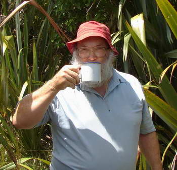
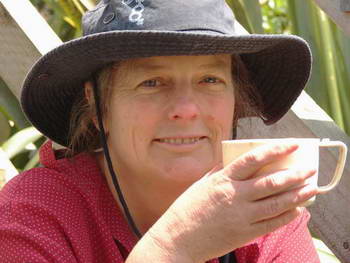
10 December 2006Mt Auckland (Atuanui)p.4 Finally we got it together to organise a vehicle at each end of the track with plenty of time available for the walk. You need to know, however that there is no provision whatsoever for parking at the north end of the track on SH 16. You will have to park on a steeply sloping gravel verge with part of the car out on the main road. We took the van up Kaipara Hills Rd, and set out from there, reaching the top a bit after 11.30, and enjoyed a late morning tea from a thermos,
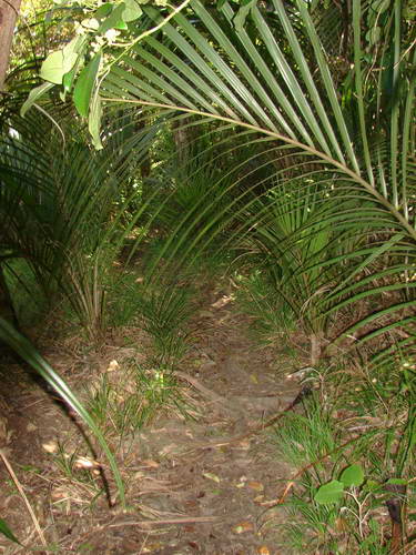
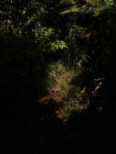
We were just finishing when we were joined by two English ladies who had set out for a walk without realising what they were in for. (To their credit, they took far less time to get up to the top than we did. Daughters of Empire both!) However, they were looking for the fastest way down, as they were otherwise likely to be late for an appointment in the afternoon. The northern leg, which we intended to take, is shorter and steeper so we offered them a lift back to their car from the bottom. The first part of the track is not far off bush crashing. Brushing vegetation aside as we pass is ongoing.
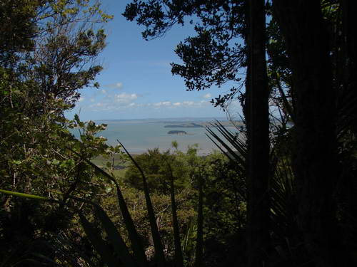
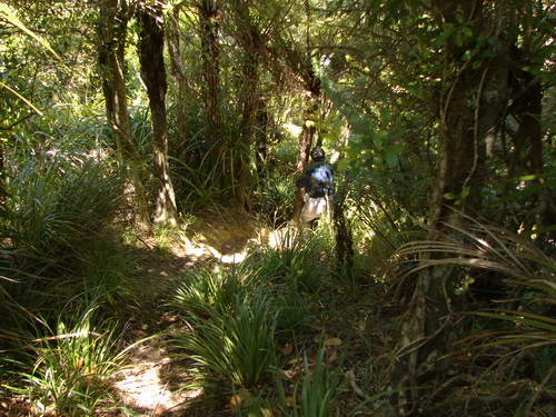
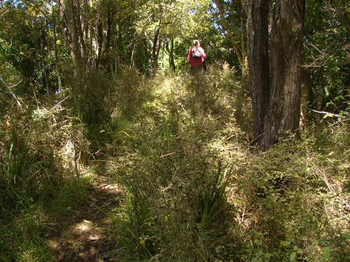
Even Alice is affected. The small red colour feature in the distance in the ensuing pics is Miranda.
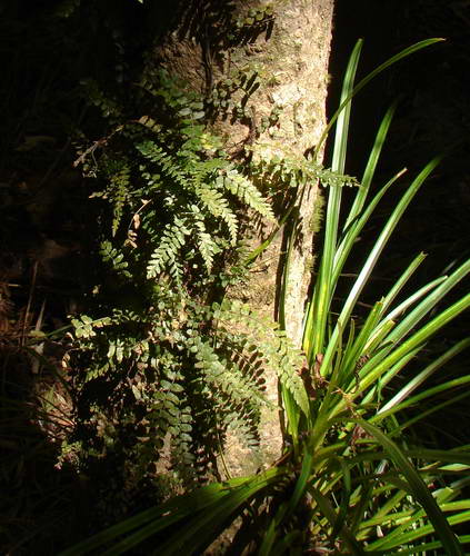
This is mainly because I keep being distracted by plants of one sort or another and tend to lag about 50 metres behind.
Here and there, a gap in the trees gives some fine views over the Kaipara
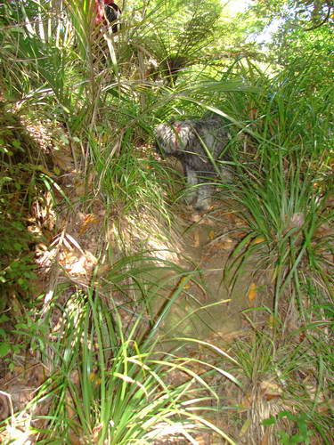
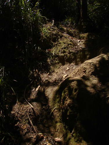
The track heads down a narrowish ridge at times fairly steeply, though not a problem with sticks. (I notice at the end that one of my sticks has a slight bow in the end.)
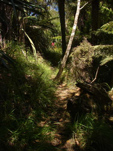
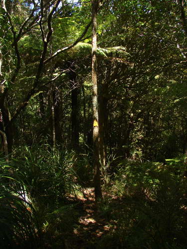
We continue downwards, at times enclosed and at times through more open bush.
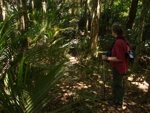
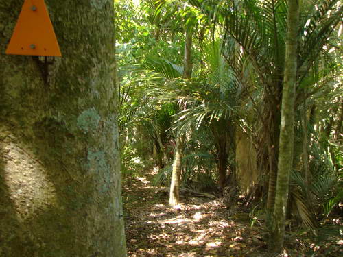
Nikau feature strongly as they do on the other side
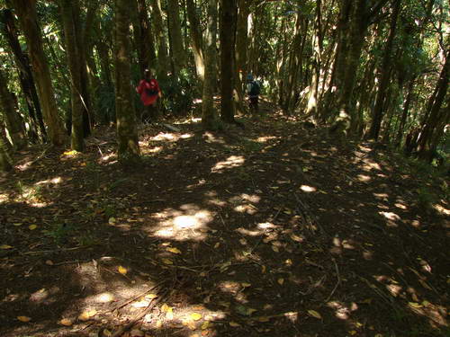
It's definitely not the Waitakeres, but it's not always easy to pinpoint the difference This shot is as is. There is no wide angle lens distortion.
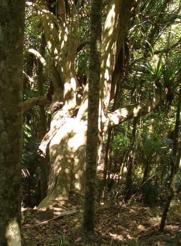
There are some massive old taraire and puriri to be seen on the way down.
We continue downwards, at times quite sharply and at others levelling off for a spell.
This side is obviously less travelled, though that is partly a function of the farm below being closed through spring for lambing.
One thing is certain, there's plenty of variety on the way down, from totally enclosed to open and scrubby or just dappled shade
|
|