|
Many thanks for permission to use graphics from their software and toposheets |
|
|
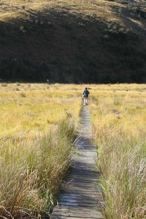
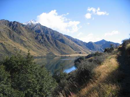
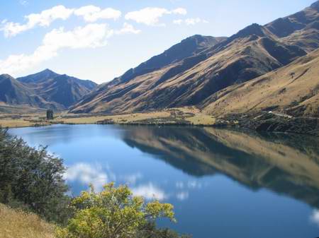
Moke LakeWe continue across to the far side of the flats
We hit the other side and start up the side of the long ridge that divides the south end of the lake.
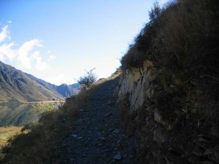
It's out of my comfort zone in short order. I can see that it's perfectly safe - in fact I'll watch a mountain biker head around the lake later on in the day. And for a short distance I can handle this kind of exposed height. But this track just continues out in the open for longer than I can manage. My knees begin to shake a bit and compound my basic sense of instability and top-heaviness. More to work on here, especially if I want to complete the Routeburn next year. I probably need to aim for a weight-drop of around 10-15 kg, and do a lot more work on uneven ground until the muscles and ligaments that stabilise my knees and ankles just take things in their stride. Also, as much practice in exposed areas as possible. I note that I don't have the same fear reaction around suspension bridges now I have a dozen or so of them under my belt. I still don't go looking for them, but they don't cause me to lose any sleep the way they used to. I bail out soon after this point. I notice that I have no trouble at all on the downward trip, even though the same track was causing problems on the way up. May be more of a fitness and strength issue than I thought. Miranda takes over the camera and heads on up the hill.
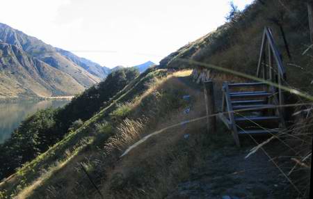
She reckons this stile would have had me, anyway, if I had kept going.
Not only is it way up in the air; the steps are still covered with a thick layer of frost and ice. It's funny, but I've almost convinced myself I could do this if I tried again now. It will be a good prelim test if we're down this way to try the Routeburn next year. I still feel proud of the Henry crossing, and also of getting past a couple of the drop-offs on day 1. I couldn't have done those last year. The track continues to rise
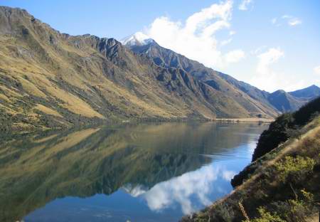
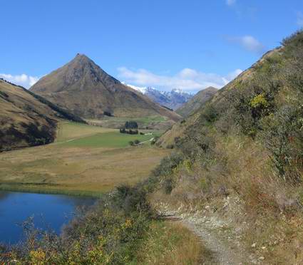
Then it levels off prior to circling around the end of the ridge, just above the trees.
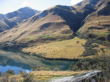
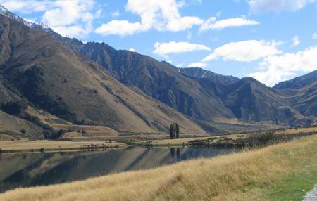
Across the other side of the lake is the road leading back to the campground.
Around further the camp is so far off that the van is almost invisible.
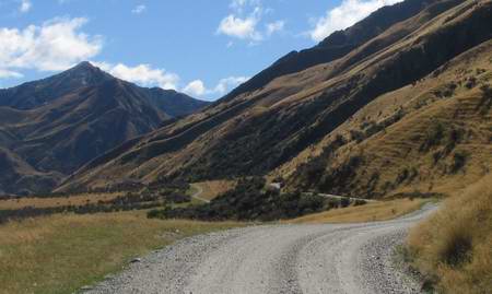
The track heads down through scrub
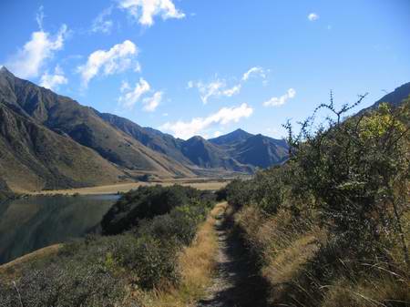
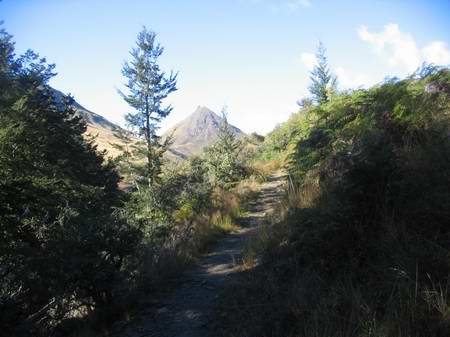
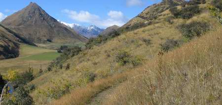
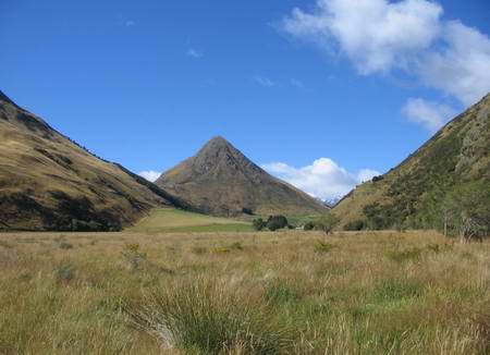
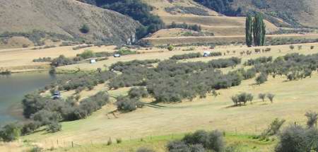
The ridge is steepish, but the views are great.
The path winds along the side of the ridge
then heads more sharply down towards the flats at the top of the eastern arm of the lake
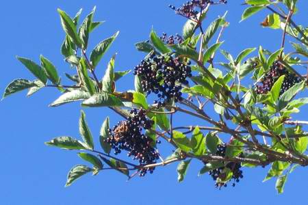
There are also ripe elderberries to be had on the way down. (Years ago, I used to buy Barkers elderberry wine and a fortified elderberry negus from local wineshops in Auckland, and when I passed through Geraldine on the way here, I stopped off at Barkers to see whether it was still around. Sorry, no. They stopped making it twelve years ago.) The fruit is much more plentiful and juicy than on our trees at home but nowhere near as sweet.
Then it's across the flats, with more boardwalk bridging the feeder stream
and up onto the road.
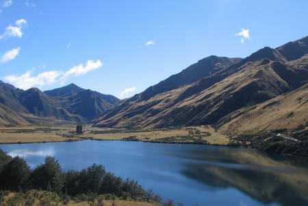
It's peaceful walking, almost classic "scenery"...
and back to the campground
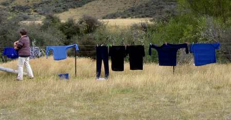
We grab the opportunity to get some laundry done, but the sun is too much behind the clouds to offer much assistance. We head back into Queenstown where the Downtown Backpackers Lodge is infinitely helpful. The Lodge is what real estate agents describe as a "character property" but their showers are hot and endless, and their laundry facilities excellent and all for around $8 for both of us and several days accumulated dirty laundry.
Cheers Hope you enjoyed the walk
|
|