|
Many thanks for permission to use graphics from their software and toposheets |
|
|
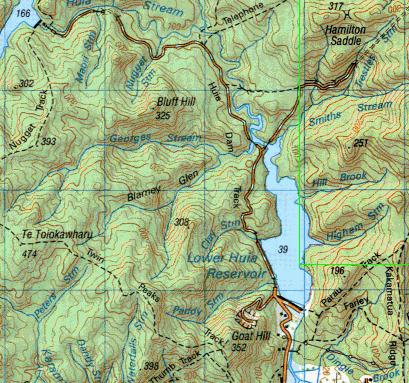
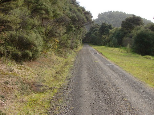
29 August 2007 Huia Dam Rd —from Dam to Dampage 1 I'd originally planned to do this with Miranda, but yesterday was pissing down with rain, and we stayed in, lit the fire and watched dvds. Today she was busy, but the weather was fine, I had a couple of days up my sleeve before the GST return was due, so I headed off down to Huia. The Huia Dam Rd starts at the lower Huia Dam and winds through the hills for about 6km or so to the Upper Huia Dam. It's a gravel road maintained by Watercare Services. The gravel is moderately coarse and occasionally a little loose which can make footing at times uncertain, and certainly my feet felt as if they'd been given the treatment after 13km there and back.
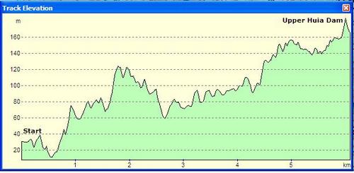
In the profile below, ignore the finer saw teeth. They are a function of the graphics. The general trend is gentle and smooth with a couple of steepish sections. The latter two thirds of the track are probably the best model of the Heaphy Track first day slope I've seen. (The Heaphy just goes on a hell of a lot longer.)
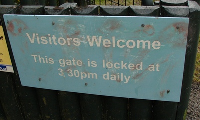
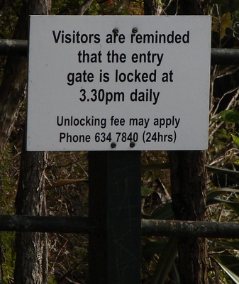
I'm not at all sure how long it's going to take me, so I take the precaution of parking just outside the first set of gates. Note that these are closed at 3.30 pm according to the notice beside them, while ARC track notes say 4pm.
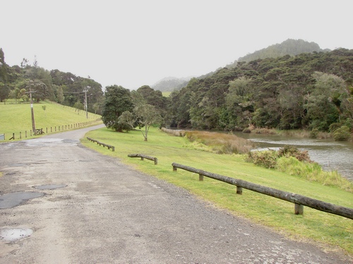
We head on up towards the dam. It's misty, but with plenty of sun. The camera mostly records a diffuse pale grey sky but it's bluer than that.
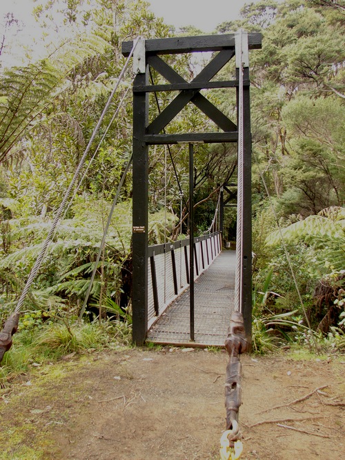
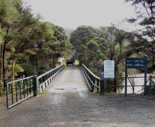
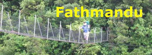
On the way we pass the Parau track heading off to the right across an impressively solid suspension bridge. I recall reading a day or two back about a new 91m 8-people-at-a-time, DOC suspension bridge near Wellington, and wonder what that would be like.
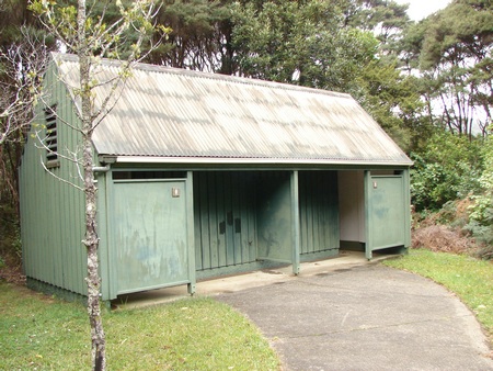
As we approach the base of the Lower Huia dam, a track leads off to the right to public toilets.
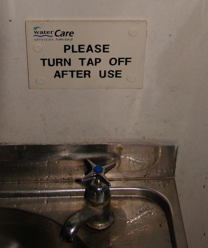
These provided me with one of the more joyous moments on the trip. Believe it. Inside, just above the hand basin is the following sign, a monument to the careful attention to detail that characterises those in charge of our water services. I kid you not. This is it in its untouched splendour:
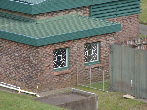
On the subject of attention to detail, on the way back past here I took a photo of part of the brick water-pumping or purification architecture:
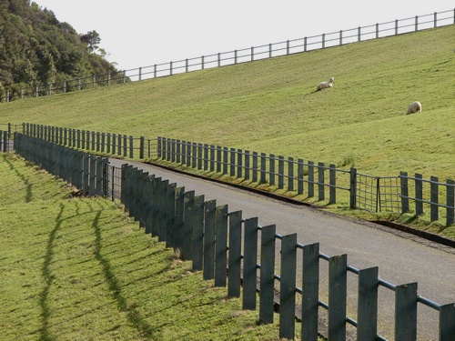
It's good to know that our water rates are being spent on such tasteful items as leadlight windows. Maybe there is a sound technical reason for these. One doesn't always know the whole story and it's unwise to speculate too much. Seeing the sheep, I call Alice in and attach a leash. If there is one incontrovertible piece of information embedded in Alice's brain it is that the entire world was provided for her to chase. It may yet prove fatal. She's mostly OK these days, but the instant any of the sheep began to run, she'd likely be off after them, and if I owned the sheep I'd be shooting her without further question. We head diagonally up the back of the dam. It's one of the two or three stiffish climbs. It's short, but, coming at the start, it gets the heart rate up a bit. If you have confidence in your return time you can drive your car right up here and park at the top.
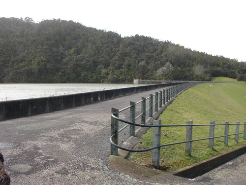
A service road runs right across the top of the dam, and the overflow is at the far end.
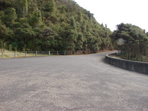
For a short distance the road is tarsealed, with a fine collection of lichen for enthusiasts.
From here the road travels along beside the lake for about a kilometre, crossing a number of bridges on the way.
There's another gate and another warning about one's car turning into a pumpkin at 3.30 pm.
On the bridge Alice stops for a pee, and I understand this, in the context, to be part of a wider territorial consideration:
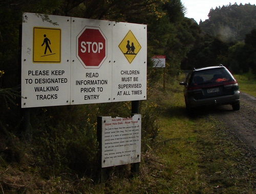
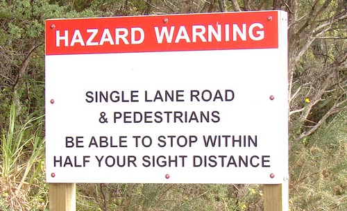
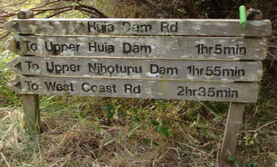
There's a whole mess of signs just here, and I pause to take in the information.
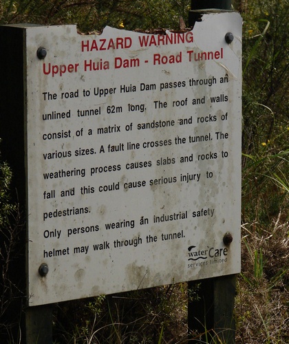
I discover that I am a hazard.
and I discover that I should have brought an industrial safety helmet if I want to continue through the tunnel. Let's just say we'll cross that bridge, er, walk through that tunnel, when we come to it.
Off to the right some maintenance crew are about their jobs, with a truck radio loud enough to mask any birdsong that might be about. Another sign tells me I should be at the Upper Huia Dam in just over an hour. Fatman time is just under two hours. It pays to calibrate yourself against time estimates. I generally allow an extra 50% minimum, and sometimes that's not enough, and sometimes I surprise myself.
The gravel road stretches out level ahead of us. There's still a faint haze in the air, but it doesn't stop the sun from being quite hot and the road quite exposed at times.
If you go to the DOC website, http://www.doc.govt.nz, you can subscribe to their regular newsletter "What's Up DoC" keeping you up to date with track reports, new projects and other tramping-related stuff.
|
|